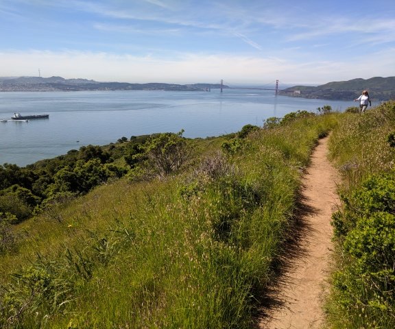
The end of the last California ice age 10,000 years ago did the final carving of Yosemite Valley that’s part of the 400-mile long stretch of granite we now call the Sierra that tectonic forces pushed upward over 2.4 million years ago.
The global warming that followed the end of the last ice age gets credit for creating the Rodney Dangerfield of California’s great natural wonders — the Sacramento San Joaquin Delta.
Before temperatures started heating up to force the retreat of the vast glaciers that once covered a large swath of what is today eastern California the sea level was more than 300 feet lower with the edge of present-day San Francisco nearly 20 miles from the ocean. The Great Central Valley was a massive inland sea. At the bottom of that sea was what is now the Delta today.
About 560,000 years ago runoff from the Sierra breached the Coastal Ranges and started carving what is now known as the Carquinez Strait.
The narrowness of the strait helped slow down sediment laden water as well as tidal action causing sediment to build up. It created numerous large islands.
And while it created a delta it is not your true river delta but an inverted river delta due to sediments accumulating inland instead of outward.
The only other inland delta of significant size in the world situated so far inland is the Pearl River Delta in China.
The Delta as it existed prior to massive manmade changes that came at the height of the Gold Rush in 1850 has about 200 islands. Another 57 islands were reclaimed over the next 50 years through the use of levees.
It’s those manmade levees that diluted what could have been the appeal of the Delta to the modern-day looky-loo tourist.
Most of the 1,100 miles of levees that have created 700 miles of predictable waterways that don’t merge during periods of Sierra snow runoff doesn’t disappear in late summer and fall as they are fed by manmade reservoirs that release captured water to keep rivers flowing year round. But the levee system that has the river stay visible long after the rainy season has ended is anything but appealing at first glance.
They are typically earthen with little in the way of attractive vegetation on the water side creating a redundant sameness.
The Delta is heaven for anglers, boaters, water sports enthusiasts and even birdwatchers. Save for a few rustic communities and unique dining spots, others may take a Sunday drive to see a significant swath of the Delta and enjoy it but aren’t typically inspired to make return trips to soak in the ambiance.
Water enthusiasts and fishermen, however, are repeatedly drawn back.
Delta supports 700 species
of wildlife, birds and plants
Despite it not having the universal appeal of Lake Tahoe, Yosemite, or sandy south state beaches, the Delta plays a pivotal role in the overall scheme of things for both man and nature.
Roughly 50 percent of all water that flows in California rivers into the Pacific Ocean that is not diverted for other uses passes through the Delta and into Suisun Bay; in an average year that’s 30 million acre feet of water or enough to fill New Melones Reservoir to the brim eight times.
The water diverted from the Delta at the massive pumps at Clifton Court Forebay 10 miles northwest of Tracy is dumped into the Delta-Mendota Canal and the California Aqueduct. That water supplies 29 million of the state’s 40 million residents and accounts for the lion’s share of the water that irrigates crops that place California’s top-in-the-nation agricultural production at $50 billion annually.
The Delta also supports more than 700 various species of birds, fish, animals, and plants. Roughly half of the migratory birds on the Pacific Flyway touch down in the Delta.
Stresses on the ecological system that supports the natural wildfire and fauna of the Delta besides the exporting of water and to their waste basins are the numerous non-native species such as striped bass that were introduced in 1873 and feast on threatened native fish such as salmon and endangered fish like the Delta Smelt.
In some instances, research shows as much as 90 percent of the young salmon departing the Stanislaus River on their journey after spawning season to reach the Pacific Ocean are devoured by predators.
55 percent of the Delta
is in San Joaquin County
The Delta — which spills across six counties — is more wedded to San Joaquin County than the counties of Contra Costa, Sacramento, Alameda, Solano, and Yolo.
That’s because almost 55 percent of the 1,153 square miles of the Delta is within San Joaquin County. Sacramento County is next at 20 percent.
Even more significant, 73 percent of the 840 square miles of farmland in the Delta can be found within San Joaquin County. The Delta with more than $560 million in annual farm production would place it as a county the 15th largest for farm receipts behind Santa Barbara Country and ahead of Solano County.
Based on per acre farm production there is no place more fertile in California. Yields from similar crops are almost 50 percent higher across the board in the Delta. That’s thanks in a large part to up to 15 feet deep in places of decomposed plants such as tules that once dominated the Delta that decayed over dozens of centuries. The abundance of water also helps.
Delta drains 42,600 square
miles of state’s watershed
The Delta drains the state’s two longest rivers and the two largest water basins and two — the Sacramento River at 400 miles in length draining 27,000 square miles that collects and moves 30 percent of California’s water and the San Joaquin River at 366 miles in length and drains 15,600 square miles.
It contains two deep sea channels that allow ocean going ships to reach ports in Sacramento and Stockton. The Stockton Port is the easternmost port in California.
The Miwok and Maidu indigenous people were the first humans to populate the Delta starting about 20,000 years ago.
The first known European to see the Delta was Spanish explorer Don Pedro Fages who viewed it from the 3,849-foot summit of Mt. Diablo in 1772. He described it as a vast inland sea which was an apt description as it was at the peak of the Sierra snowmelt runoff 80 years before the first levee was erected to try and tame the two mighty rivers that intertwined there on the way to Suisun Bay.
It is that perennial “inland sea” — significantly smaller in dry years that based on hydrology reach back centuries had less intense Sierra runoff and valley flooding — that prompted Fages for whom Don Pedro Reservoir is named to erroneously report back to Spain that there was nothing east of Mt. Diablo than a massive body of water.
There are 500,000 plus people residing in the Delta that consists of a primary region and a secondary region.
Development occurring
in secondary Delta zone
The 1992 Delta Protection Act has effectively put a brake on urbanization on the primary zone but the secondary zone — so identified because that is where almost all the people in the Delta resided when the law was passed as well as today — still has a lot of development pressure.
The secondary zone includes Lathrop, Tracy, Stockton, Mountain House, Antioch, Brentwood, Discovery Bay, Pittsburgh and Oakley.
Stewart Tract — where the 11,000-plus homes of River Islands at Lathrop is being developed — is in the secondary zone. It is one of the 57 reclaimed islands and the first to be urbanized in such a significant manner.
Cambay Group, in order to safely develop the tract, invested in massive 30-foot wide levees that afford River Islands the most secure flood protection against a river in California.
River Islands, that will have an unparalleled universal access along a river and waterways in California with an 18-mile greenbelt atop the levees protecting the tract, provides a birds-eye view that underscored the nickname of “California’s Holland” that has been used to describe the Delta in past years.